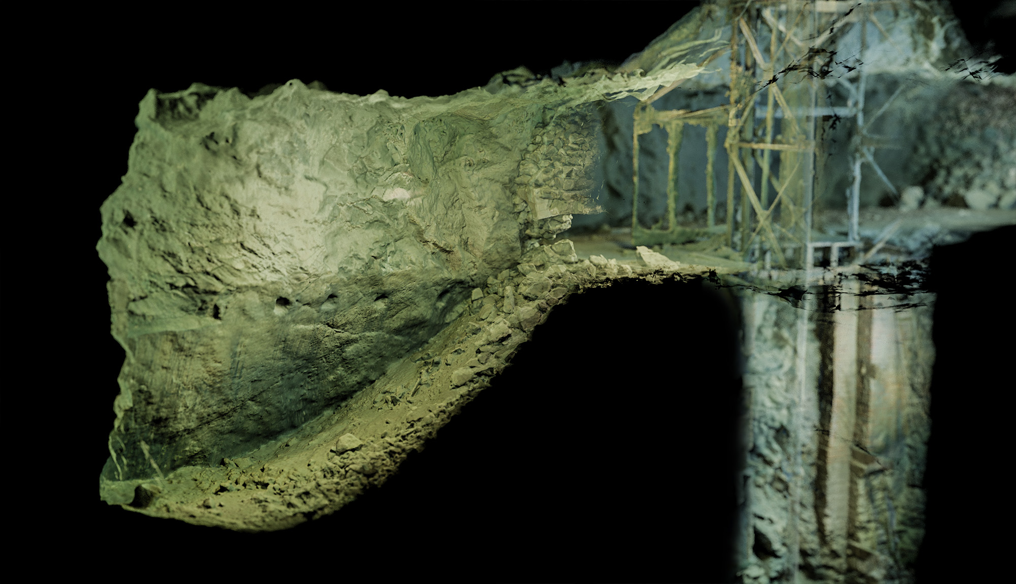
The goal was simple - to create an accurate and complete 3d scan of the Maria Concordia mine. The team gathered around the project consists of world-renowned divers (Mikko Paasi from BottomlineProjects.com) and great underwater photogrammetry specialists (Mariusz Milka from Seamagination.com).
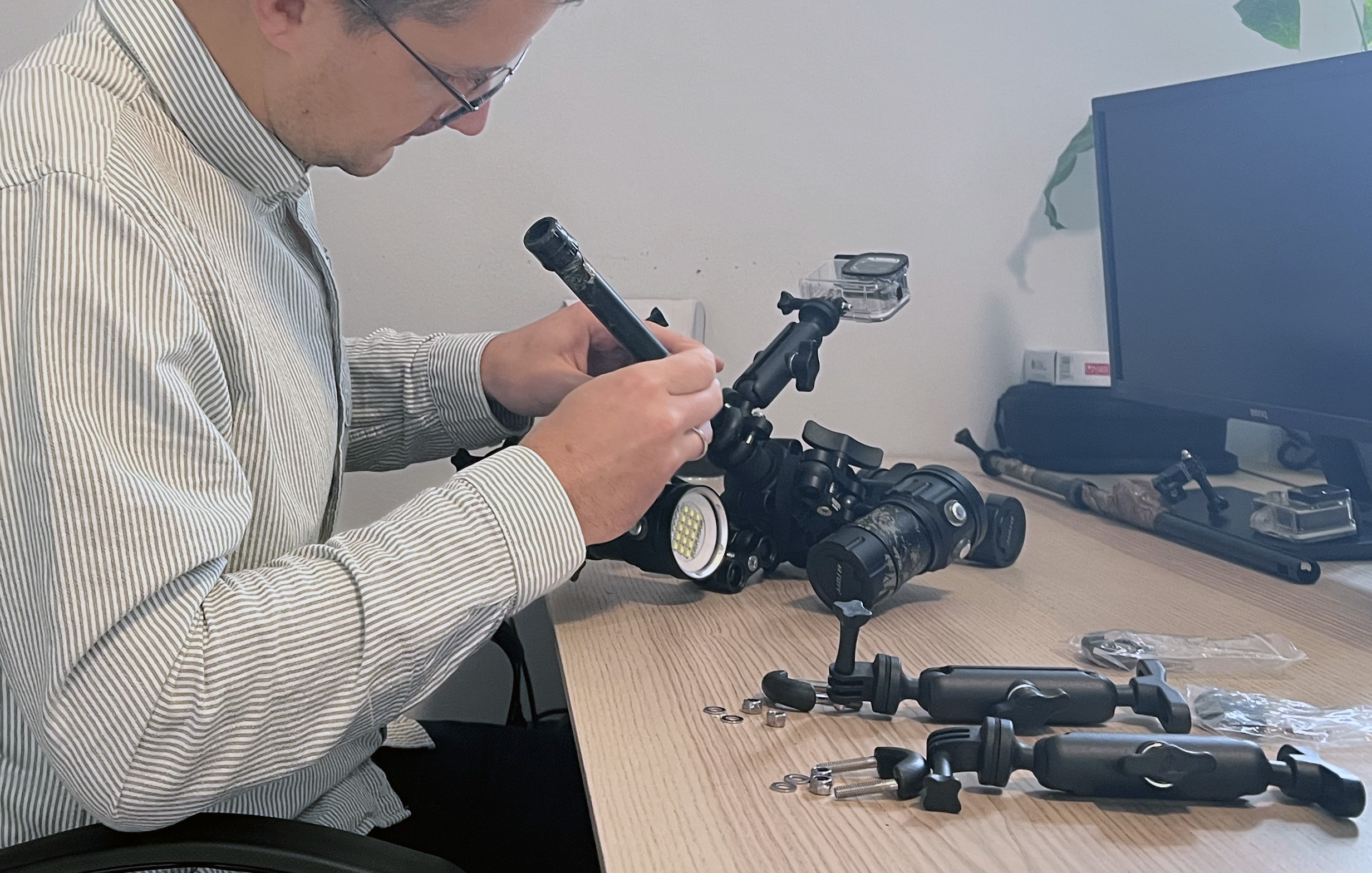
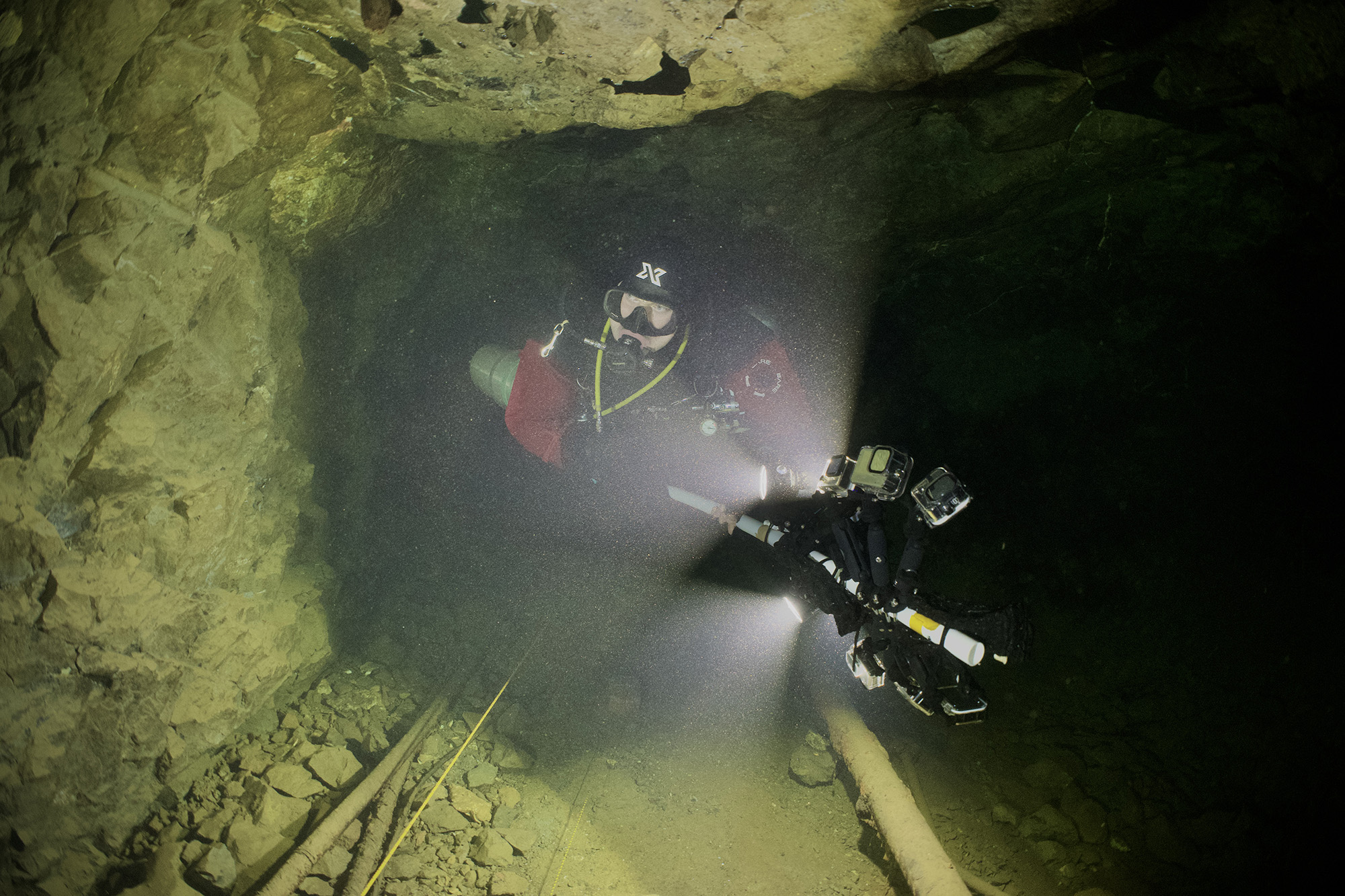
But easier said than done. An underwater photogrammetry project consisting of over 200.000 images is something you want to plan well ahead. I started with creating a special rig that would host 5 GoPro cameras that shoot simultaneously. The rig would also host 4 video lights.
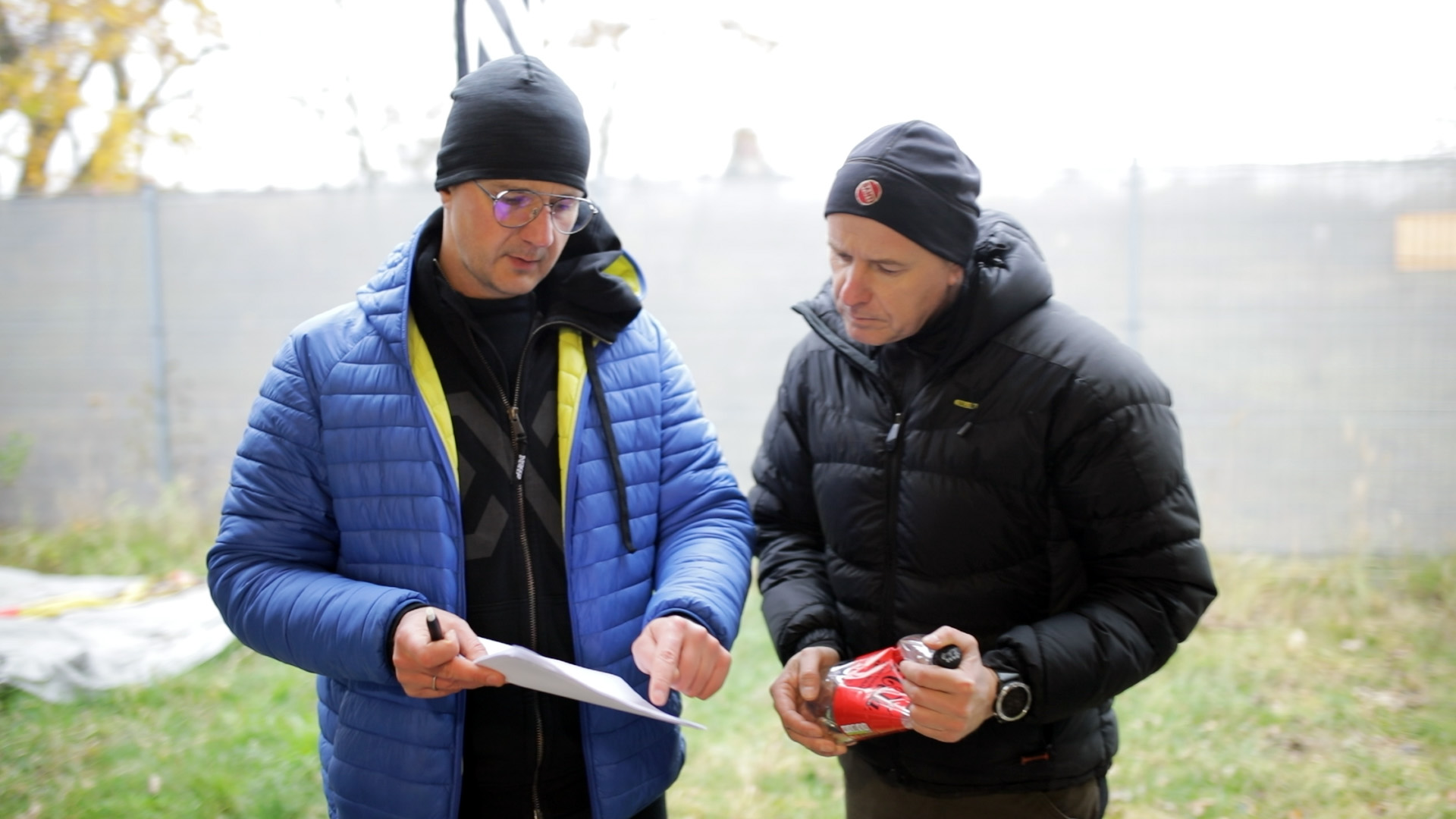
Then there was the question of dive planning. After some experiments we knew exactly at what pace the diver can move through the corridor when doing a scan with a 5-camera rig and was able to divide the mine into several areas, each possible to scan within one single dive.
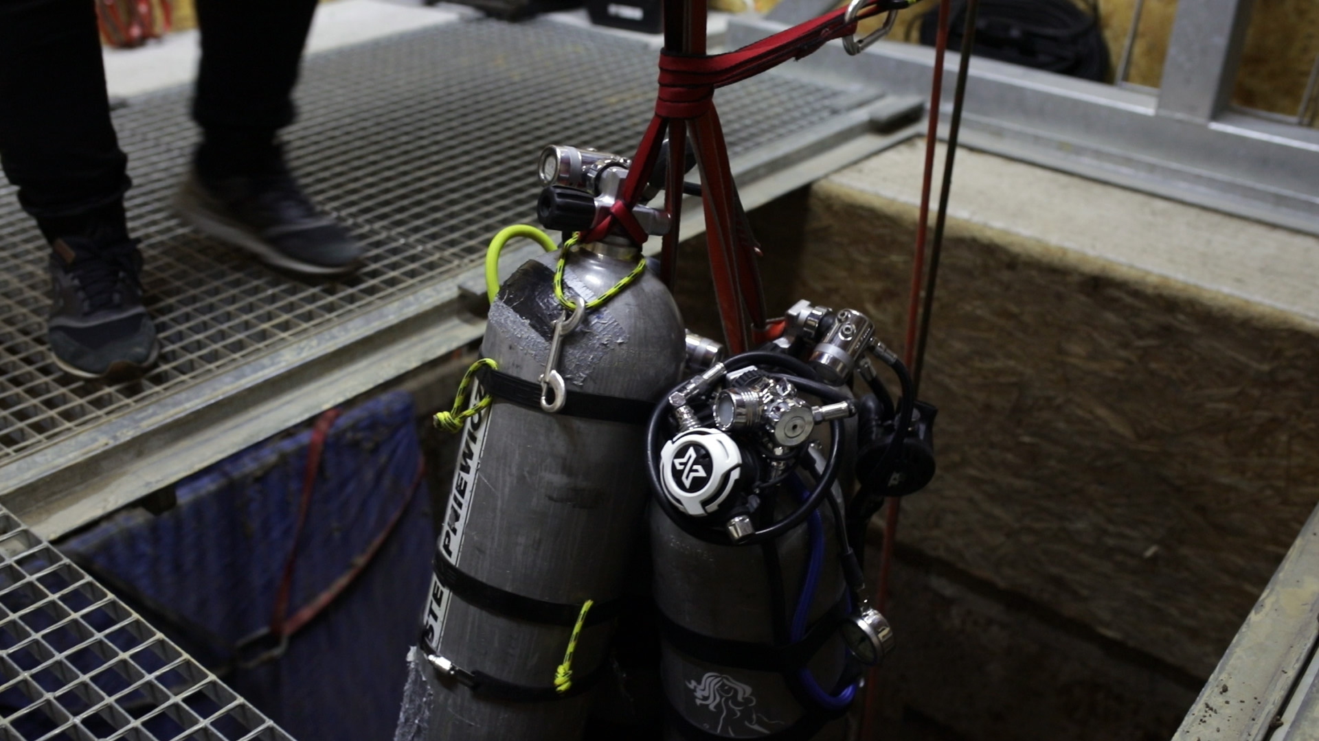
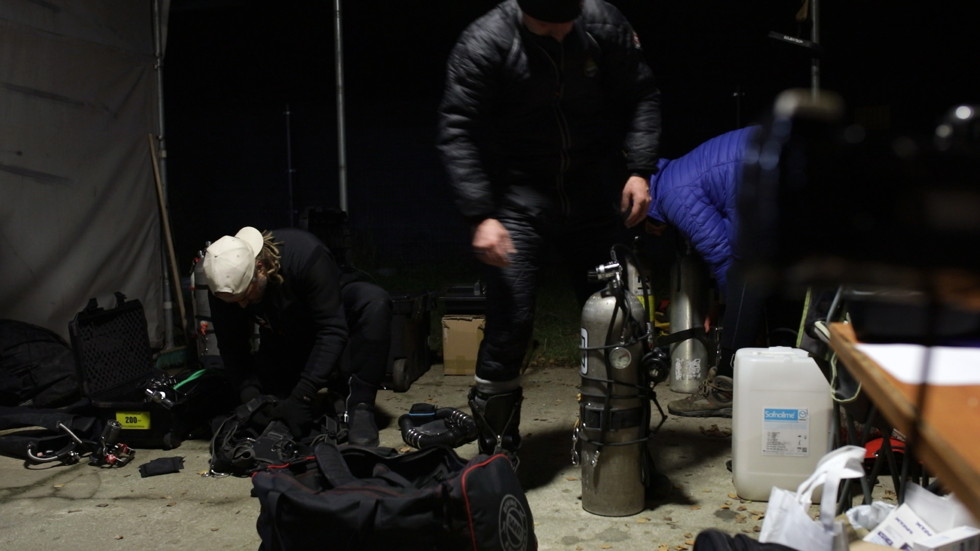
Logistics was one of the biggest issues here. Maria Concordia is a specific dive site - in order to access the water surface you need to descend about 40m underground, using an electric winch. Then you end up in a dry chamber where you can kit up in a comfortable way. The thing is that the air humidity in this chamber exceeds 95%. This means that opening any electronic equipment like cameras down there is a terrible idea.
On the other hand - there was plenty of work with the equipment after each dive. We needed to change the memory cards in GoPros so that the surface support team could instantly download the captured material to hard drive (safety purposes). We also needed to change the batteries in the cameras, not to mention the batteries in video lamps. Due to the humidity, the whole rig would need to be transported back to the surface after each dive. The process (transporting it up and down along with the battery and memory card exchange) was taking around 30 minutes, during which next diver would gear up and become ready for the subsequent data collection dive.
Another challenge is the silt. Although Concordia is well known for its crystal clear water, there is plenty of very fine silt - which is disturbed extremely easily, even without touching it directly, so after three days of diving the water became a bit foggy.
So far we did 10 dives in the mine, slowly gathering photo data throughout the corridors. The scanning team included me (Marcin Stempniewicz), Mikko Paasi and Bartłomiej Kamiński. Mateusz and Kamil were responsible for handling the scanning rig - changing the batteries, charging them in the meantime and downloading the captured material to hard drive. They were also doing a photo/video documentation of the whole operation. We managed to capture the levels on 36m, 24m and 14m and half of the 6m corridor (the longest one).
After spending weeks on geometry reconstruction using Metashape photogrammetry software, the results are quite satisfactory. There are few places that obviously need more photo data, but this will be fixed in one of our upcoming trips to Maria Concordia. One thing for sure - it will take some time to come up with a full and complete 3d map of the whole mine.