Inspired by both the success of theMarieAgnesProject.com and hearing Mikko Paasi's compelling story about navigation struggles during the Thai cave rescue, we decided to come up with our first large-scale 3d underwater mapping project.
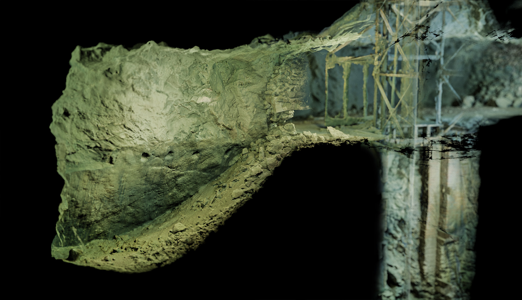
The great advantage of working with a 3d model is the possibility to quickly create a cross section along any axis, preserving the photorealistic details.
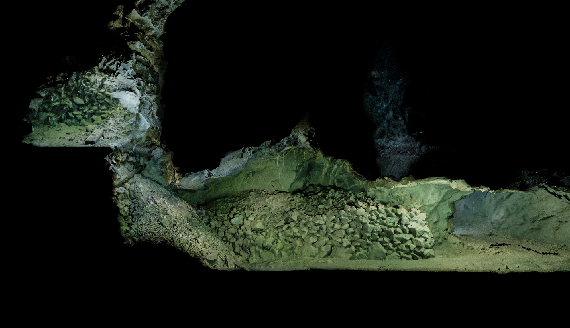
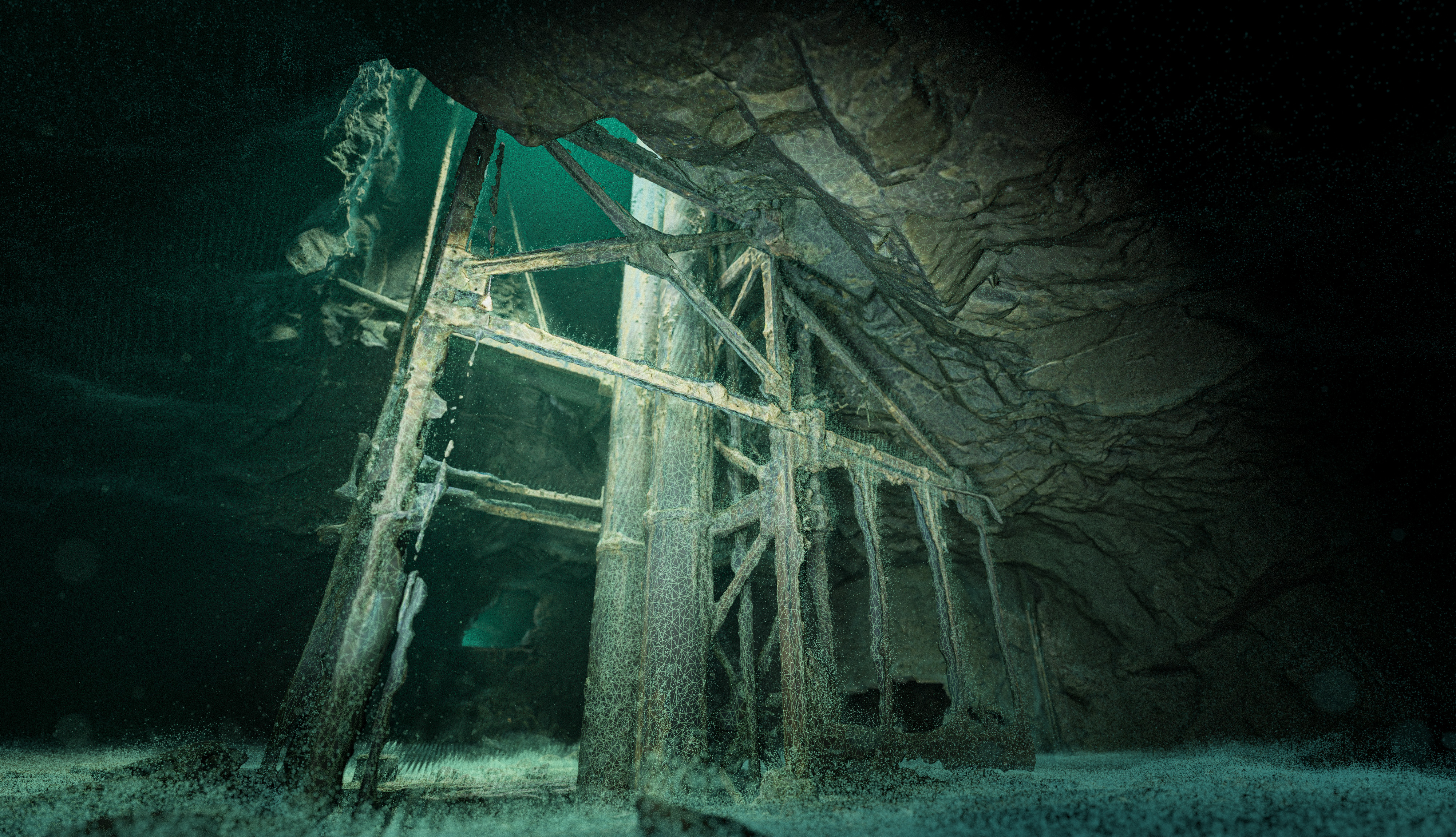
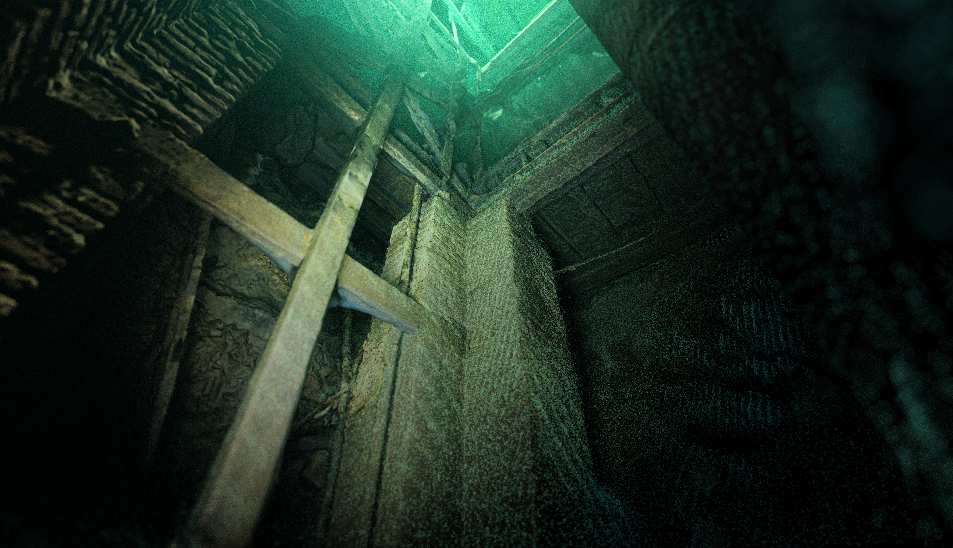
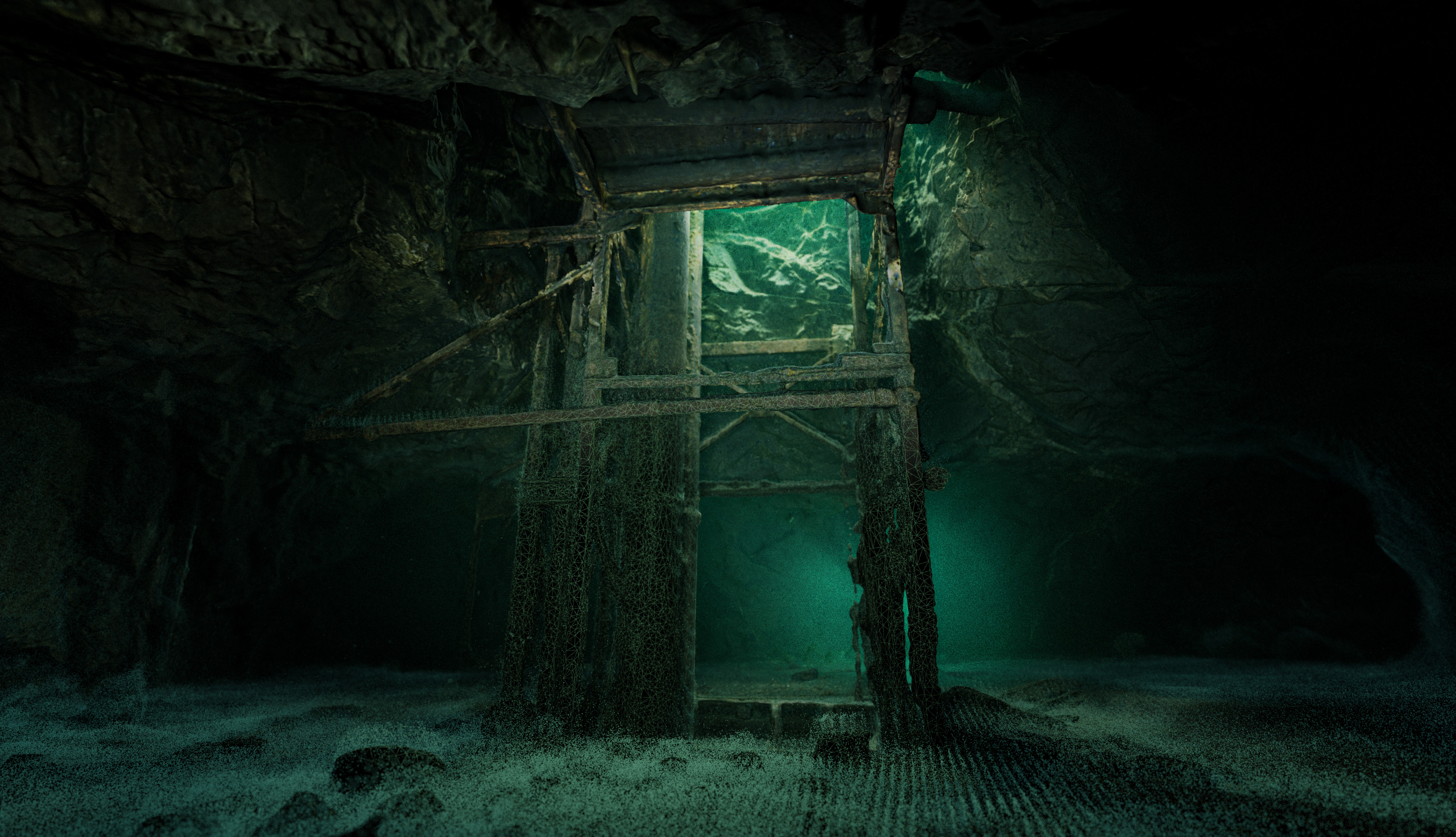
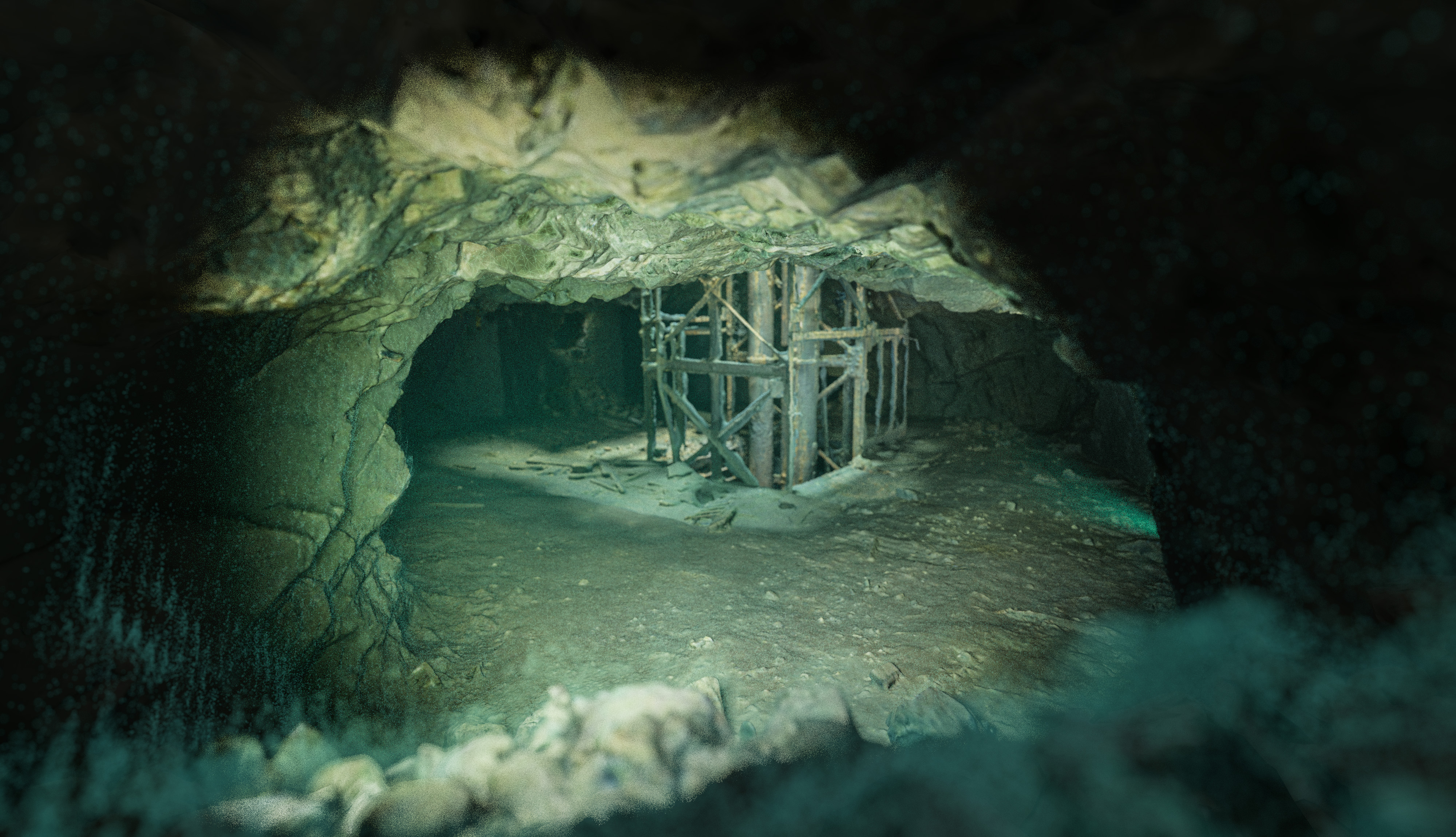
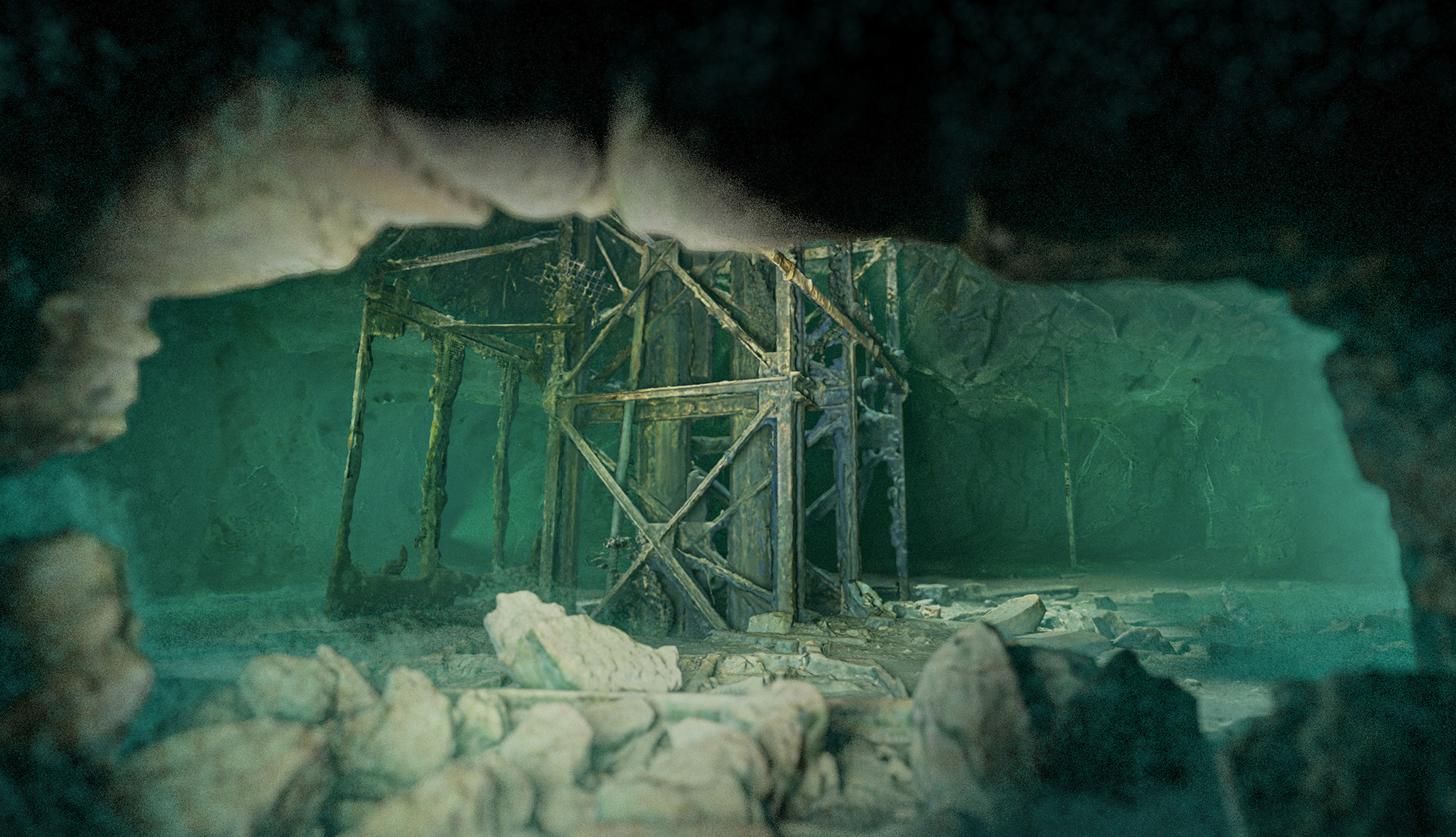
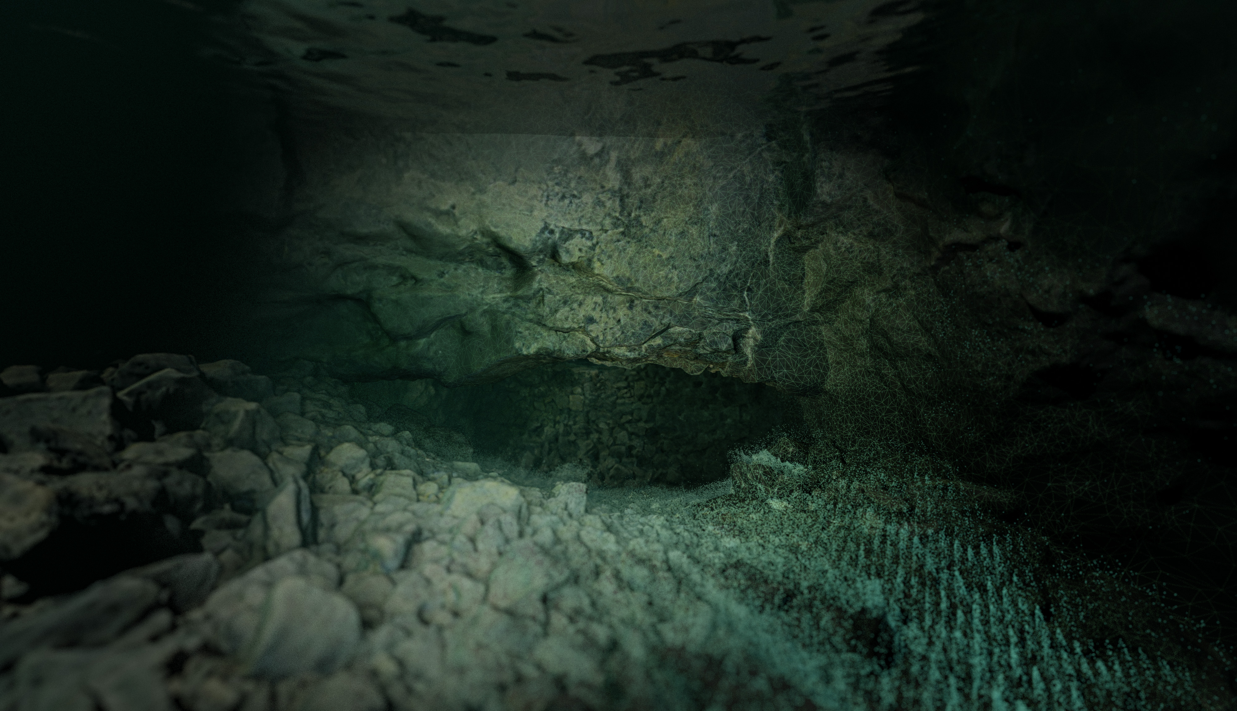
This is the first corridor accessible from the water surface. With the total corridors length of over 500m, it's not only the longest, but also the most diverse one. You can experience a variety of wide corridors excavated in hard rock, therefore resembling a natural cave, areas with wooden frameworks typical to mines and some very narrow restrictions. You can also enjoy seeing some leftovers mining equipment. This level is also quite dynamic in terms of depth. Although most of it is situated around 6-7 m below the water surface, there are quite a few locations where the corridor goes up in a steep angle, shallowing up to 2-3m.
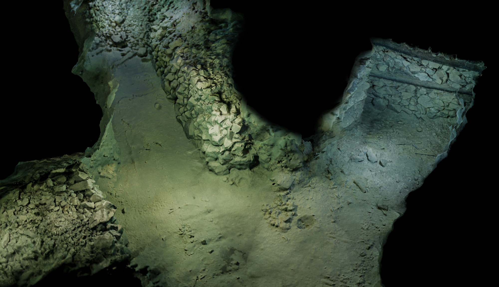
The 14m depth corridor is much shorter, yet not less interesting. A very characteristic part is a large excavation chamber and rusted pipeline on corridor floor.
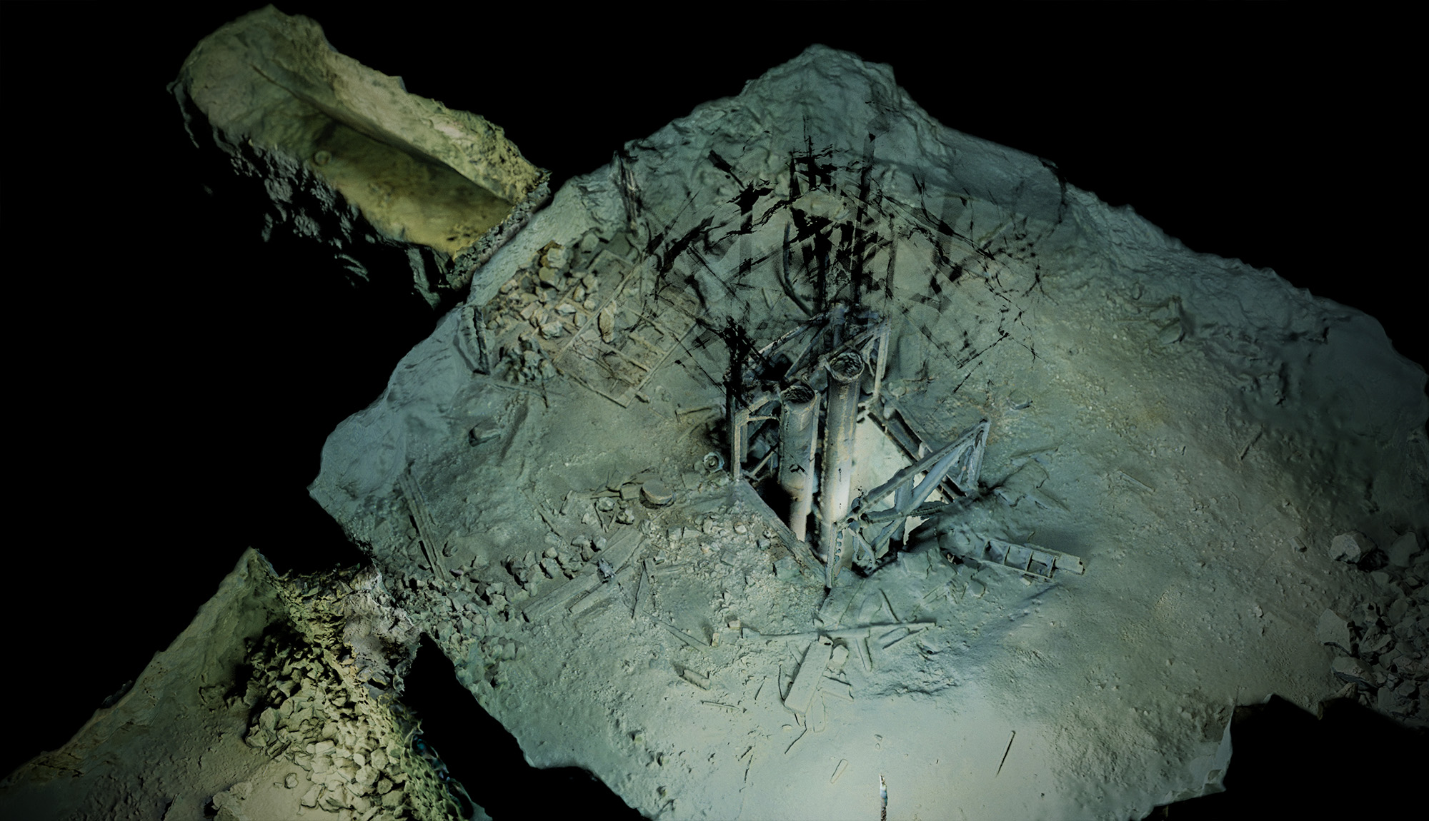
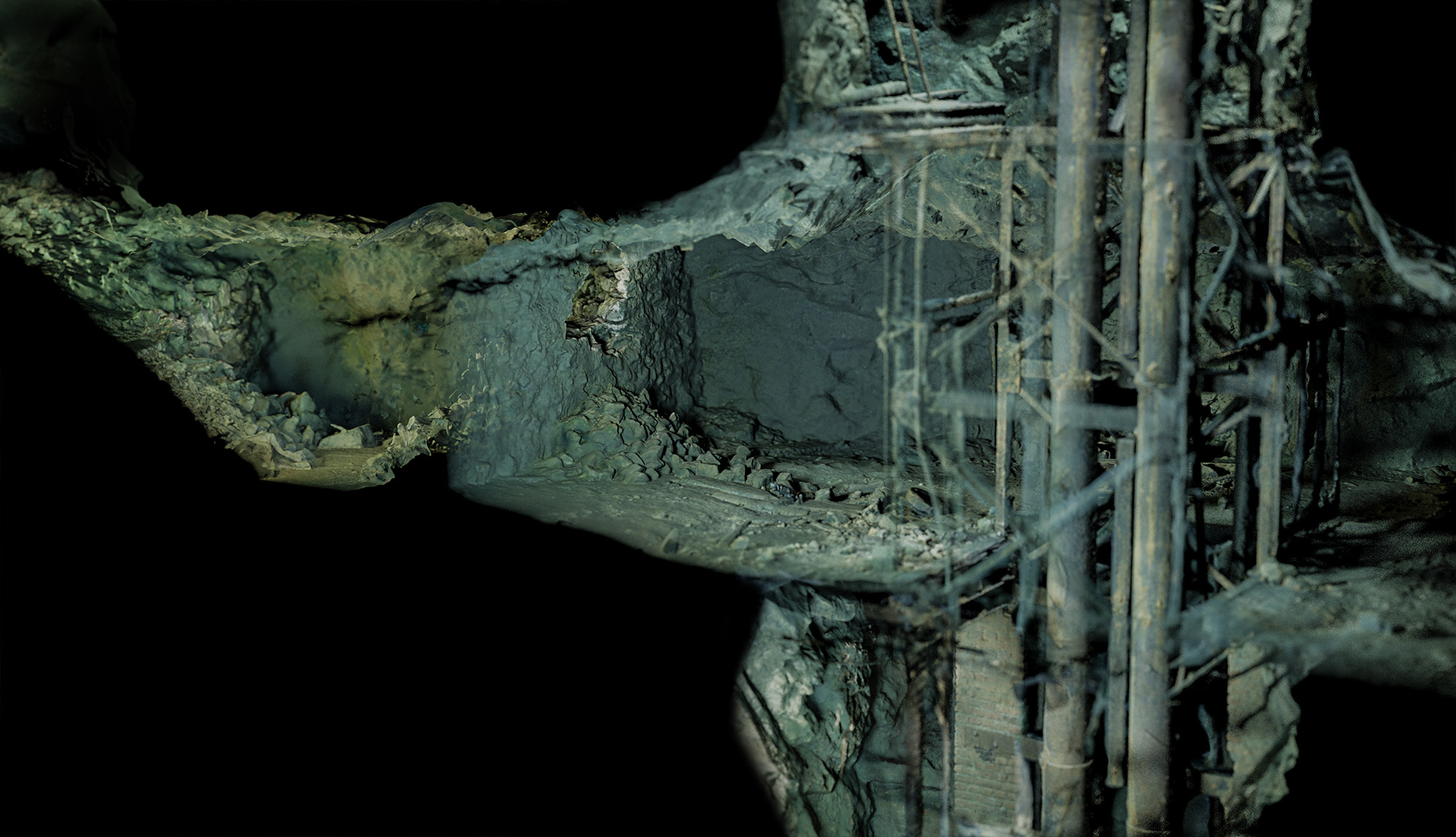
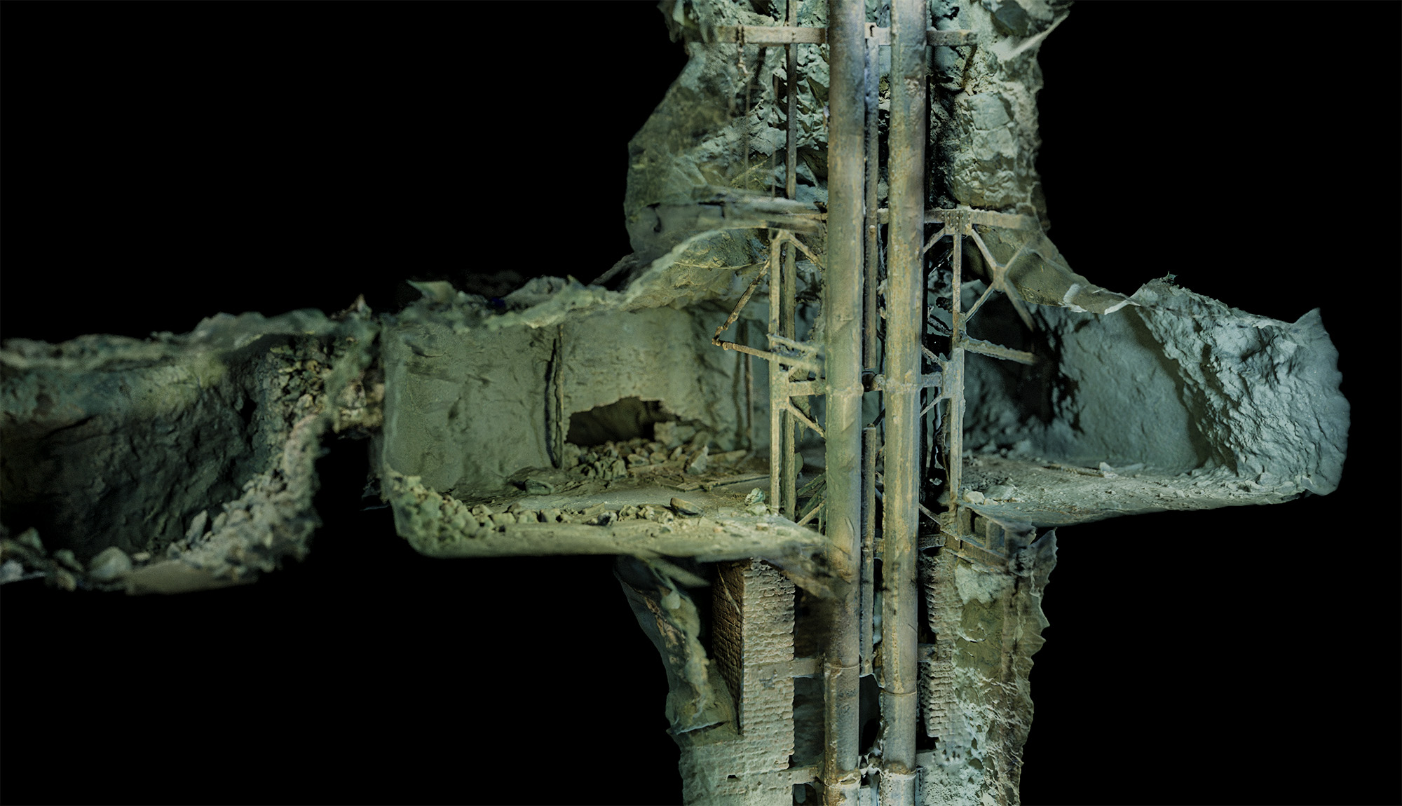
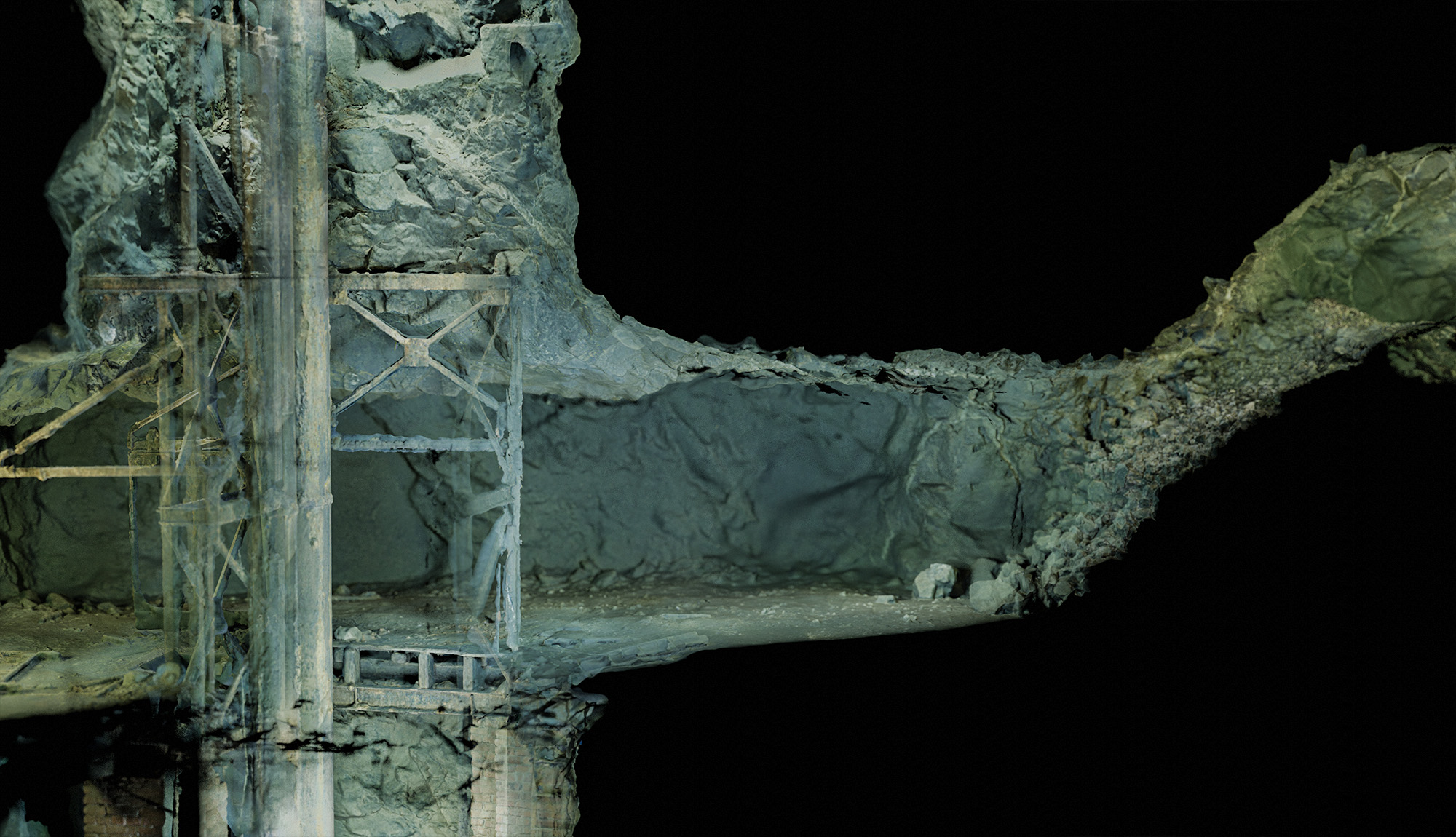
Images below present the area around the main shaft and surrounding corridors. All of the image are generated digitally and base on the photogrammetry reconstruction of the Maria Concordia mine.